Take the High Ground for Breathtaking Views on Maine’s Best Trails
These 6 hiking paths are a dream list for outdoor lovers

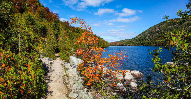
Maine has so much to offer, but one of its most spectacular offerings is the outdoors. Hiking in Maine is some of the best in New England. Get out there and explore your backyard. It’s beautiful, wild and accessible to every skill level.

Cadillac Mountain
The highest peak (1,530 feet) in Arcadia National Park, Cadillac Mountain is a must while in Maine. The mountain is practically the first piece of American soil to greet the sun every morning. If you would like to be one of the first to experience sunrise in the United States, take the North Ridge Trail, which is a moderate 2.2-mile climb. The trail begins in the forest but soon opens up and you’ll take in sweeping views of the Atlantic Ocean, Bar Harbor and the island. Even though you are practically guaranteed company by others wishing to experience the crowning sunrise, it is worth it.

Mount Katahdin
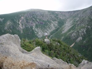
No matter which way you cut it, it is a strenuous hike to the top of Maine’s tallest Mountain peak, Mount Katahdin, located within Baxter State Park. During this 8 to 12-hour round trip hike you will gain 4,000 feet in elevation.

The trail most talked about on the mountain is the aptly named Knife Edge trail. Not to sugarcoat things, this is a very strenuous hike and people have died trying to traverse the completely exposed trail in inclement weather or high winds. That said, if you are an experienced hiker, this trail might be just the ticket. You can access the trail from Roaring Brook Campground.

The most popular trail to access the summit is Hunt Trail. This 5.2-mile trail has an elevation gain of more than 4,100 feet with some of the most spectacular natural features along its route. You’ll come across the beautiful Katahdin Stream Falls, the Boulders on Hunt Spur, the traverse of the Tableland and expansive views since nearly half the hike is above the tree line.

Mount Battie
The Mount Battie Trail within Camden Hills State Park is short at only a half-mile, but it does require a bit of scrambling on rocks, which may be difficult for some. If you’re experienced, you won’t have a problem and those that are novices, use your discretion, but you’re able to make it with assistance from your experienced friends.
The trail starts steep but there are three separate overlooks reminding you why you decided to burn your quads. Once at the top, you experience breathtaking views of the Atlantic Ocean and Camden, which is one of the most photographed vistas in the state. And with a bit more effort, you can go further to the stone tower where you can see for miles.

Mount Kineo
In Maine’s north woods sits Mount Kineo, which is on a peninsula jutting into the largest lake in the state, Moosehead Lake. Even though it is connected to land, the only way to get to the Mountain, with its 800-foot cliffs is by a ferry from the town of Rockwood.

Once you arrive, you have a couple of choices for trails. The easier hike, Bridle Trail, is longer and more gradual. The steeper trail that does require some cliff walking is the Indian Trail. Both routes get you to the top of the mountain where you can climb up an old fire tower that has been converted into a viewing platform. This could be the scariest part of the journey as the stairs are quite steep. Once you get to the top of the tower, it is there you will experience sweeping views of the lake, and if you go in the fall, spectacular colors.
Note that if you take Indian Trail to the summit, you can make your return trip via the Bridle Trail.

Gulf Hagas Gorge
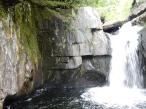
Dubbed the “Grand Canyon of Maine” Gulf Hagas Gorge boasts a network of trails that allows you to explore the deep river gorge and a number of waterfalls. The Gulf Hagas hike is a moderate to difficult trail that gains significant elevation across rugged terrain, including tree roots and rocks. The 8.6-mile trail loop rewards you with jaw dropping views of the waterfalls and rivers, plus prime swimming and fishing spots. If you don’t want to do the entire loop, there are spur trails that are a bit easier, but you are not rewarded with the same sights.

Bigelow Mountain
Last, but certainly not least, is Bigelow Mountain, another one of Maine’s 4,000-foot-plus mountains. The Fire Warden Trail is a challenging and satisfying way to reach the top of the mountain. The trail can be looped with other trails in the area for a day hike or you can take advantage of the tent platforms for camping along the way.

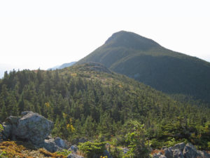
The beginning of the hike is flat and easy, but with a 3,000-foot gain, there is the inevitable ascent with its rock staircases and scrambles, which are left until you’re nearing the summit. What you’re rewarded with in the end is a panoramic of Flagstaff Lake and Maine’s Western Mountains. And while you’re in the area, you should step foot on the Appalachian Trail, which traverses the mountain.
As with every hike, be sure you check trail conditions and make smart, safe choices. Now, what are you waiting for? Get out and explore Maine’s vast outdoors!


